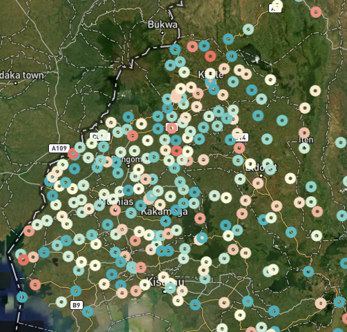
Using satellite imagery to monitor remote rural economies at high frequency
PythonGoogle Earth EngineMLGeospatialSQLCloud Innfrastructure
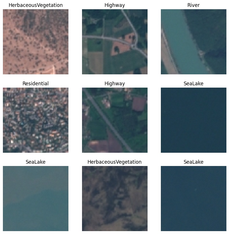
Monitoring Deforestation using Deep Learning with Satellite Data
PythonMLGeospatial
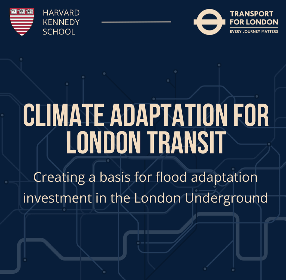
Demonstrating a system of flood cost modelling to support climate adaptation investment in the Lonon Underground.
R
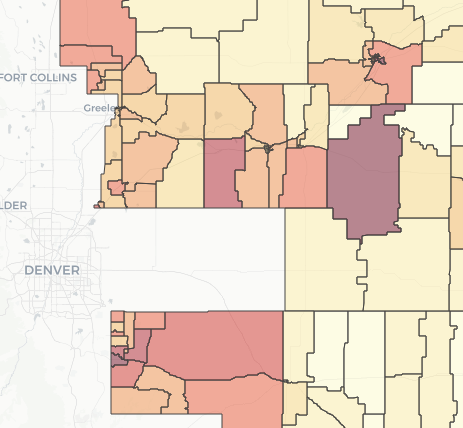
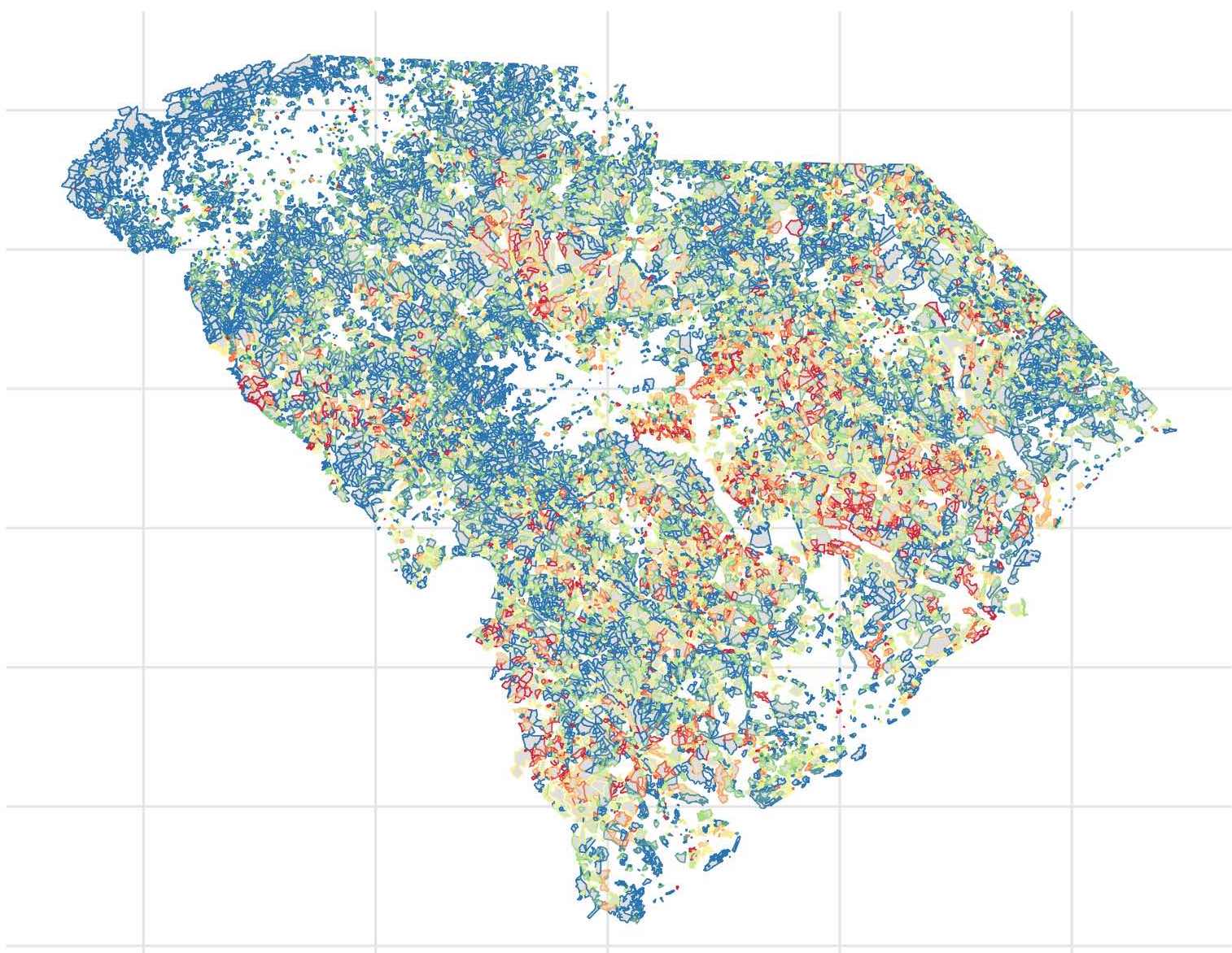
Automated tool to generage maps visualizing demographic makeup and voting history of a representative's district.
RGeospatial
Investigating whether there are racial disparities in polling place accessibility in South Carolina.